The history of Ward, Colorado
Why there are towns at 9,000 feet on a road that was built decades later.
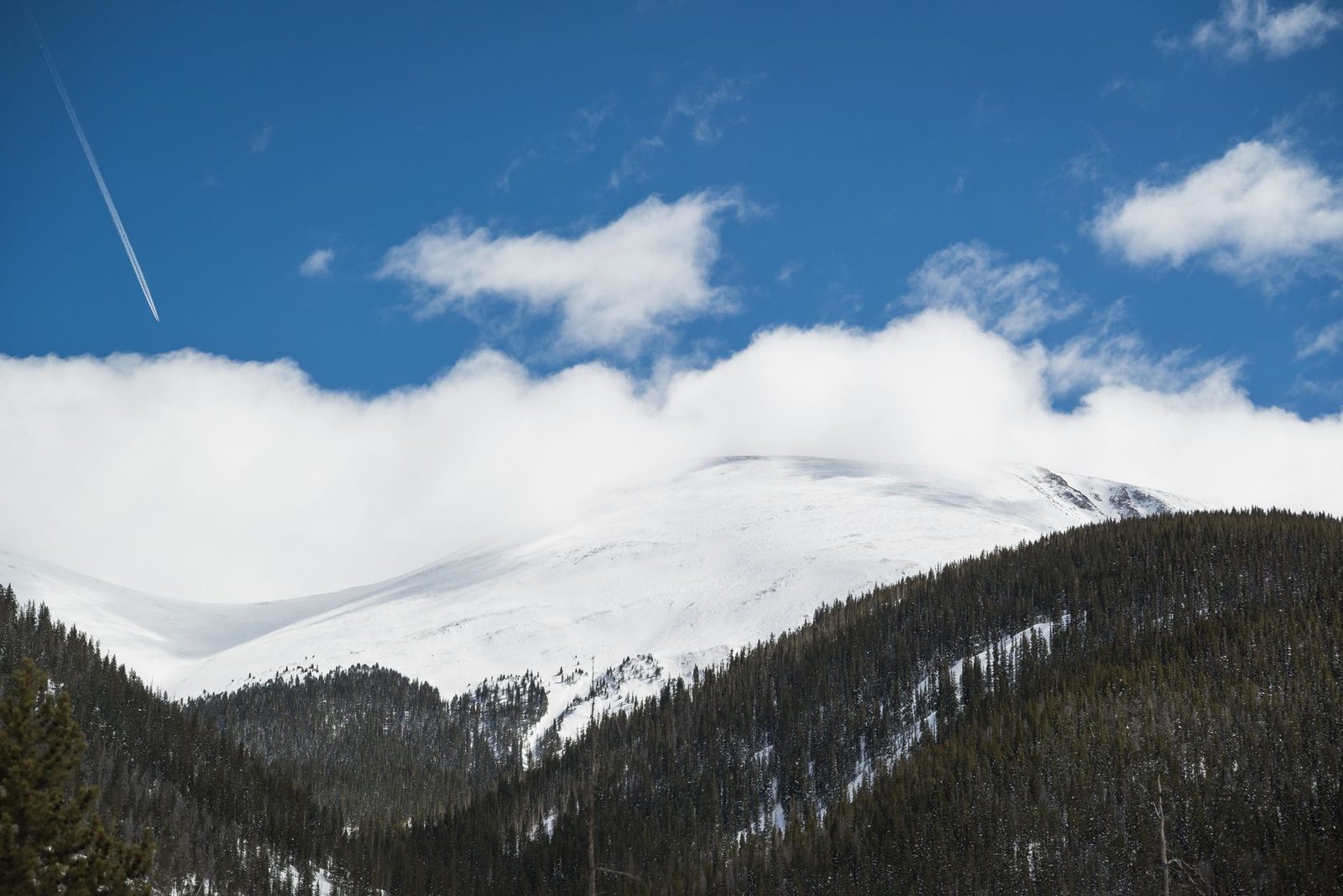
Owners letting property along the Peak to Peak are letting a piece of a nineteenth-century mining district. The towns strung along the highway are not scenic villages that grew up around a road — the road was laid across them, decades after the mines made them. Ward is the clearest example, and this is the short version of how it got here.
When was Ward, Colorado founded?
Ward was founded in 1860, in the wave of prospecting that followed the gold discovery at nearby Gold Hill, and it was named for Calvin Ward, who prospected the claim known as Miser's Dream.
The strike that made the town came the following year: in 1861 Cyrus W. Deardorff located the Columbia vein, and the Columbia became the district's defining mine. The camp that grew around it sat at roughly 9,450 feet at the head of Left Hand Canyon, high enough that everything — timber, ore, food, people — had to be hauled up or down a mountainside. Ward was formally incorporated on 9 June 1896.
What did the mines actually produce?
Gold first, then silver in quantity — one mine in the district eventually produced over two million troy ounces of silver. The mines stayed profitable long enough to justify rebuilding the town after it burned.
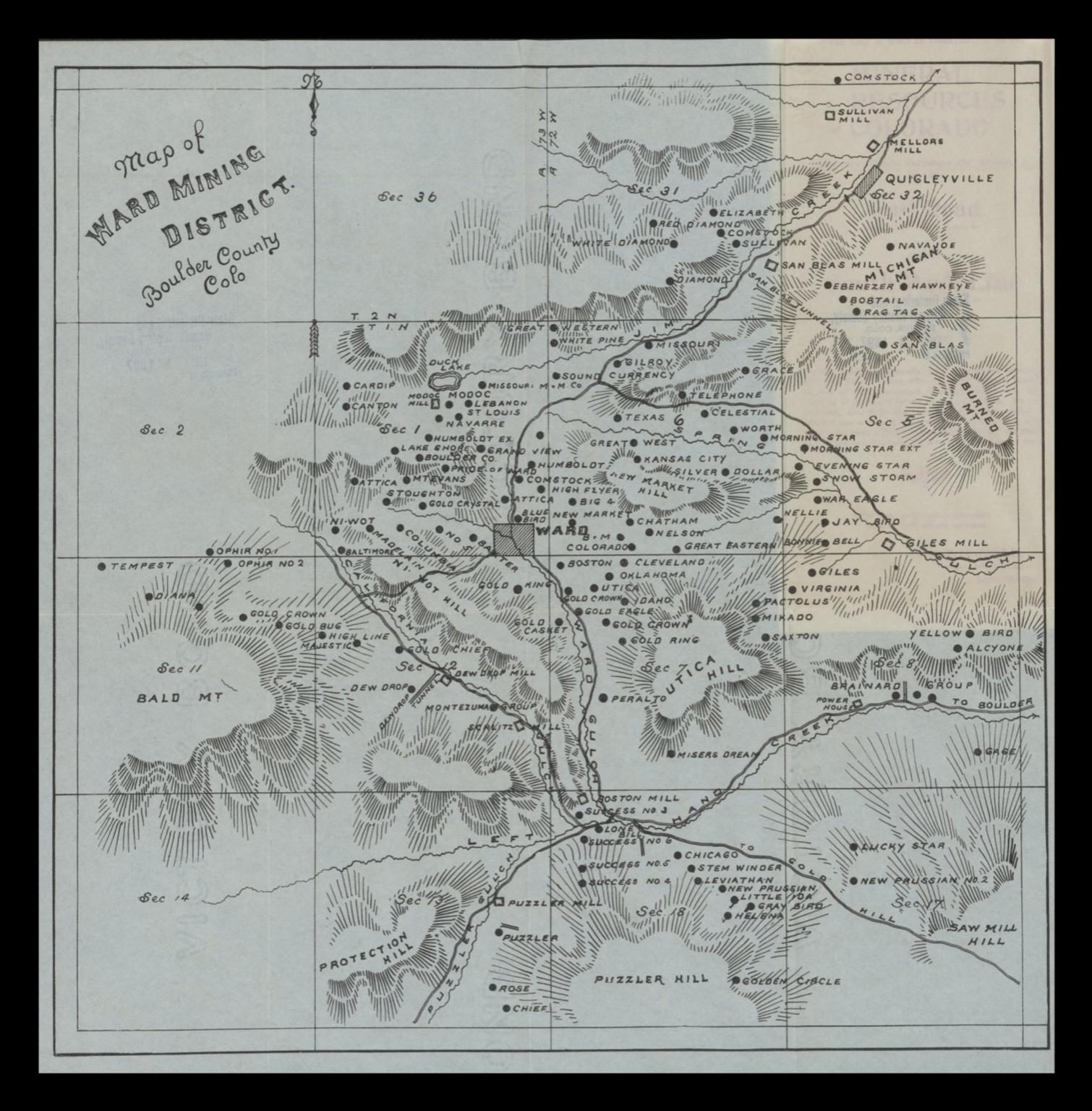
The historic map of the Ward Mining District above is the best single record of what that meant on the ground. The claim names cover the hillsides in every direction from the town: Columbia, Miser's Dream, Utica Hill, Niwot Hill, Puzzler Hill, Bald Mountain, and dozens of workings and mills strung along the gulches down toward Boulder. That density is the reason a settlement existed at this altitude at all.
- 1860 — first placer prospecting after the Gold Hill discovery.
- 1861 — the Columbia vein located by Cyrus W. Deardorff.
- 1896 — the town incorporated, 9 June.
- 1898 — the railroad arrives.
- 1900 — the fire.
What was the Switzerland Trail?
A narrow-gauge mountain railway that reached Ward in 1898, climbing more than 4,000 feet from Boulder over 26 miles. It was built to move ore down and supplies up, and it became a tourist line almost by accident.
The route — the Whiplash and the Switzerland Trail — is one of the more remarkable pieces of engineering in Boulder County: a working ore railway that switchbacked out of the plains into the high mining camps, and then found that people from Denver and Boulder would pay to ride it for the scenery. The line is long gone; the grade is still walkable in places, and it is the reason the mountain towns had a connection to the Front Range decades before a paved highway existed.
What happened in the 1900 fire?
In January 1900 a fire destroyed more than fifty buildings in Ward — most of the business district. The town was rebuilt, because the mines were still paying.
One building's survival is worth the detail. The Ward School at 66 Columbia Street, built in 1898 — the same year the railroad arrived — was draped with wet blankets during the fire and used as a fire break, protecting the houses above it on the hill. It is a substantial one-storey building, among the larger schoolhouses in western Boulder County in its era, and it was listed on the National Register of Historic Places in 1989. The Ward Congregational Church at 41 Modoc, built in 1894–95 and listed on the National Register on 3 August 1989, also still stands above the town; its nomination praises the intact design, materials and workmanship as an excellent example of community-building construction of the period in Boulder County.
Why did the town nearly disappear?
The ore ran down, and by the 1920s Ward was largely abandoned. What brought people back was not mining but a road.
The Peak to Peak Highway was built in the 1930s, and automobile tourism gave the high towns a second economic life — one based on people passing through and stopping, rather than on what was underground. That is still the economy along State Highway 72 today, and it is the reason short-term letting exists here at all. The 2020 census counted 128 residents in Ward.
- 1900s–1910s — the mines decline.
- 1920s — the town largely abandoned.
- 1930s — the Peak to Peak Highway built; car tourism arrives.
- Today — 128 residents, and a road that carries far more people than that.
What does the history mean for a listing here?
It is the reason a guest chooses a cabin on the Peak to Peak over a cheaper room on the Front Range. The mining district, the wilderness boundary and the drive itself are the product; a listing that ignores them is competing on price alone.
There is a practical version of this too. The older building stock in these towns is nineteenth- and early-twentieth-century construction that has been added to, insulated and rewired in layers. Owners who know which decade they are dealing with make better maintenance decisions than owners who treat a mountain house as a modern one with a nicer view.
In plain English: the old buildings up here were designed for people who expected to be cold. Guests in 2026 were not. That gap is where most of the money and most of the reviews are made.
What can a guest actually see today?
The Peak to Peak Highway itself, the turn for Brainard Lake and the Indian Peaks Wilderness, the surviving nineteenth-century buildings, and the remains of the mining district in every direction.
Ward sits at the point where the highway meets the road up to Brainard Lake, which is the main access to the eastern Indian Peaks — a genuinely alpine landscape within an hour and a half of a large city. Down the other way, Left Hand Canyon drops four thousand feet to the plains. Guests who come for one of those and are told about the other tend to stay a night longer.
- The Divide: the skyline west of the highway, visible from most of the corridor.
- Brainard Lake and the Indian Peaks: the eastern trailheads for the wilderness.
- Historic buildings: the 1898 schoolhouse and the 1894–95 church, both National Register listed since 1989.
- The old grades: what is left of the Switzerland Trail alignment.
Is this site connected to the town?
No. We are an independent review desk for property owners — see the notice for what that means and where to go for anything municipal.
Where do these facts come from?
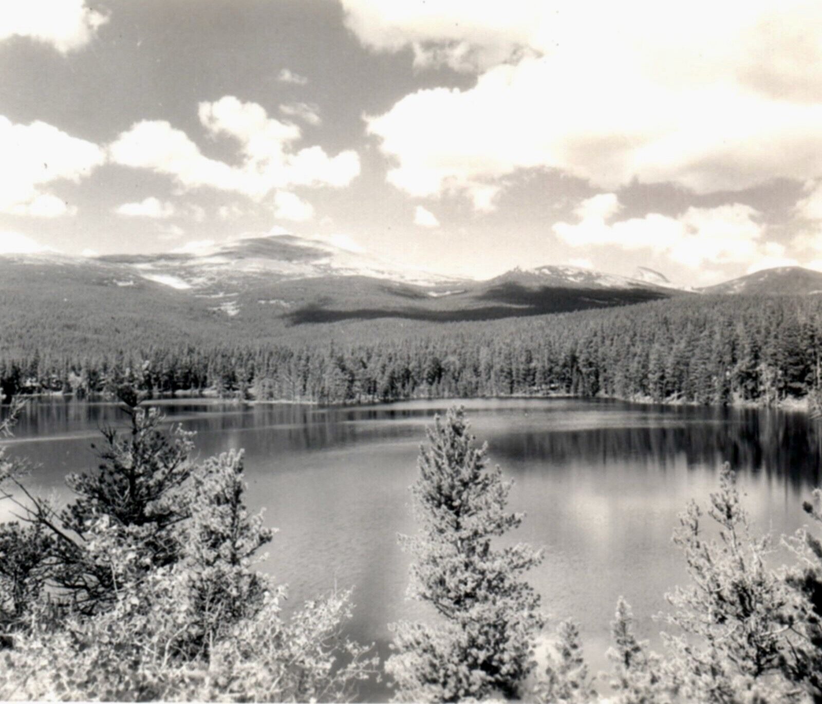
Published sources, in our own words. Founding dates, the Columbia discovery, the 1898 railroad, the January 1900 fire and the two National Register listings are drawn from published historical references, and the historic map and photograph on this page are public-domain images. We reproduce no organisation's copyrighted material.
Which page should I read next?
Nederland vacation rental management for the nearest town with real letting stock, or short-term rental management in Boulder County for the rules that govern letting up here now.